File:Thailand Bangkok location map.png
From Montepedia

Size of this preview: 754 × 600 pixels. Other resolutions: 302 × 240 pixels | 604 × 480 pixels | 966 × 768 pixels | 1,280 × 1,018 pixels | 2,560 × 2,036 pixels | 2,913 × 2,317 pixels.
Original file (2,913 × 2,317 pixels, file size: 579 KB, MIME type: image/png)

|
File:Thailand Bangkok location map.svg is a vector version of this file. It should be used in place of this PNG file when not inferior.
File:Thailand Bangkok location map.png → File:Thailand Bangkok location map.svg
For more information, see Help:SVG. |
 |
Summary
| Description |
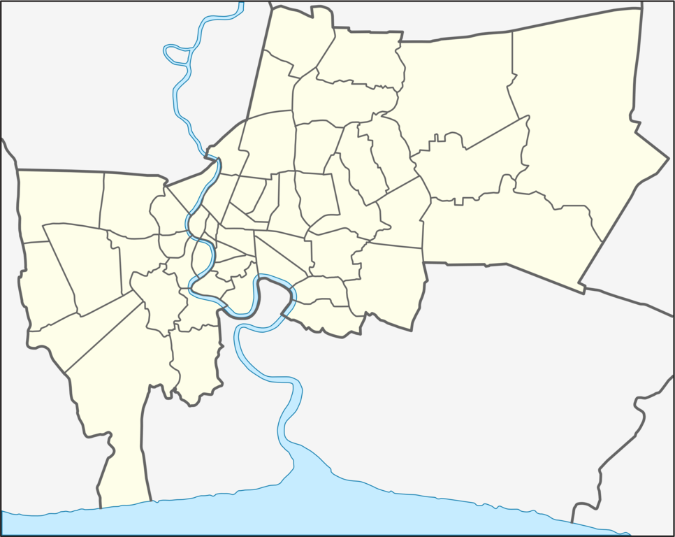
English: Location map of Bangkok; Geographic limits of the map:
Deutsch: Positionskarte von Bangkok; Geographische Begrenzung der Karte:
|
| Date | |
| Source | Own work |
| Author | Hdamm |
| Other versions | File:Thailand Bangkok location map.svg |
Licensing
I, the copyright holder of this work, hereby publish it under the following licenses:
This file is licensed under the Creative Commons Attribution-Share Alike 3.0 Unported license.
- You are free:
- to share – to copy, distribute and transmit the work
- to remix – to adapt the work
- Under the following conditions:
- attribution – You must give appropriate credit, provide a link to the license, and indicate if changes were made. You may do so in any reasonable manner, but not in any way that suggests the licensor endorses you or your use.
- share alike – If you remix, transform, or build upon the material, you must distribute your contributions under the same or compatible license as the original.

|
Permission is granted to copy, distribute and/or modify this document under the terms of the GNU Free Documentation License, Version 1.2 or any later version published by the Free Software Foundation; with no Invariant Sections, no Front-Cover Texts, and no Back-Cover Texts. A copy of the license is included in the section entitled GNU Free Documentation License. |
You may select the license of your choice.
Original upload log
| date/time | username | resolution | size | edit summary |
|---|
File history
Click on a date/time to view the file as it appeared at that time.
| Date/Time | Thumbnail | Dimensions | User | Comment | |
|---|---|---|---|---|---|
| current | 02:38, 22 May 2009 | | 2,913 × 2,317 (579 KB) | wikimediacommons>BetacommandBot | move approved by: User:Hdamm This image was moved from File:Bangkok location map.png == Summary == {{Information |Description={{en|1=Location map of Bangkok; Geographic limits of the map: * N: 13.9611° N * S: 13.4658° N * W: 100.3153° E * E |
File usage
There are no pages that use this file.
